Imprint
- Philip's
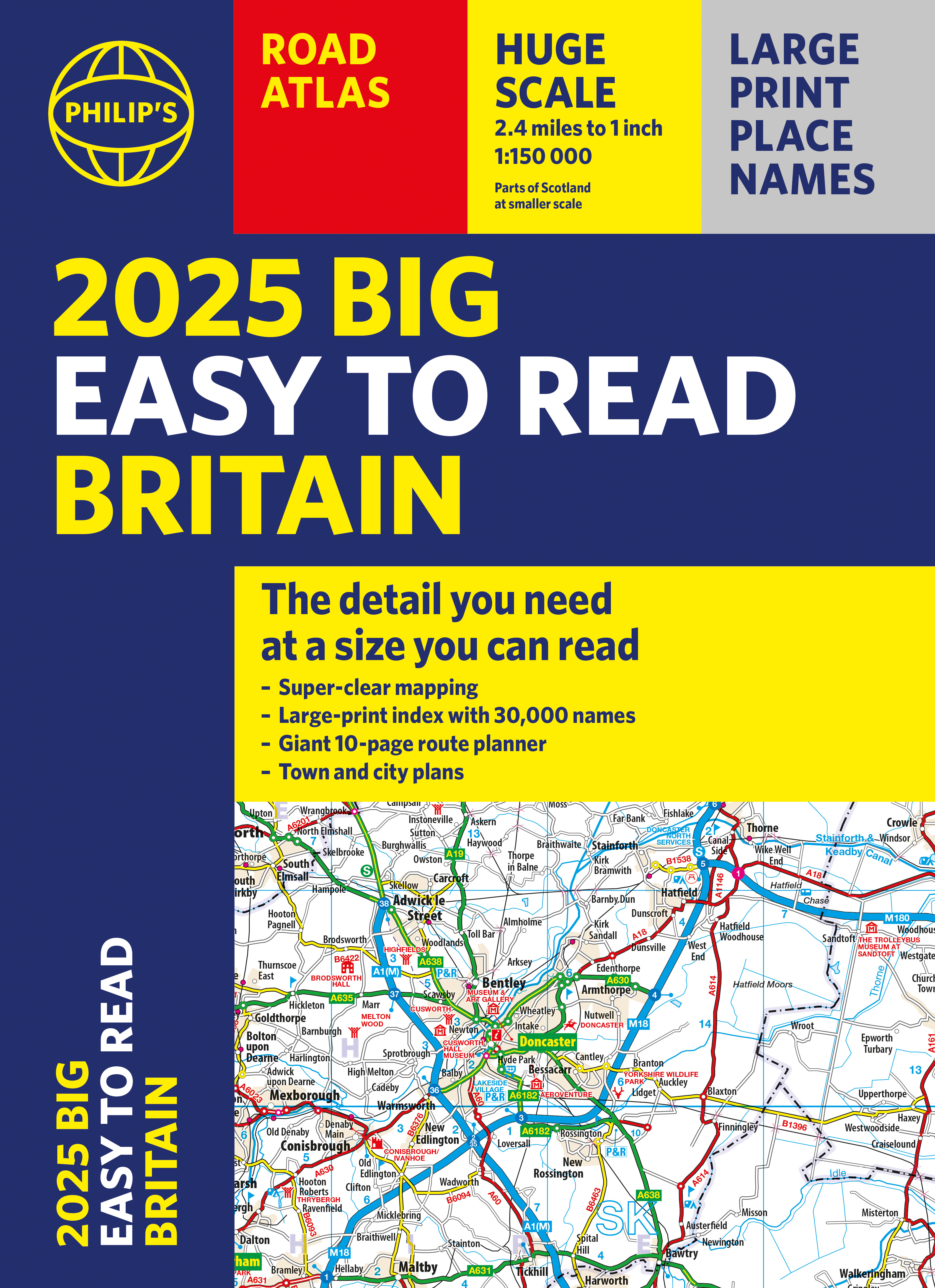
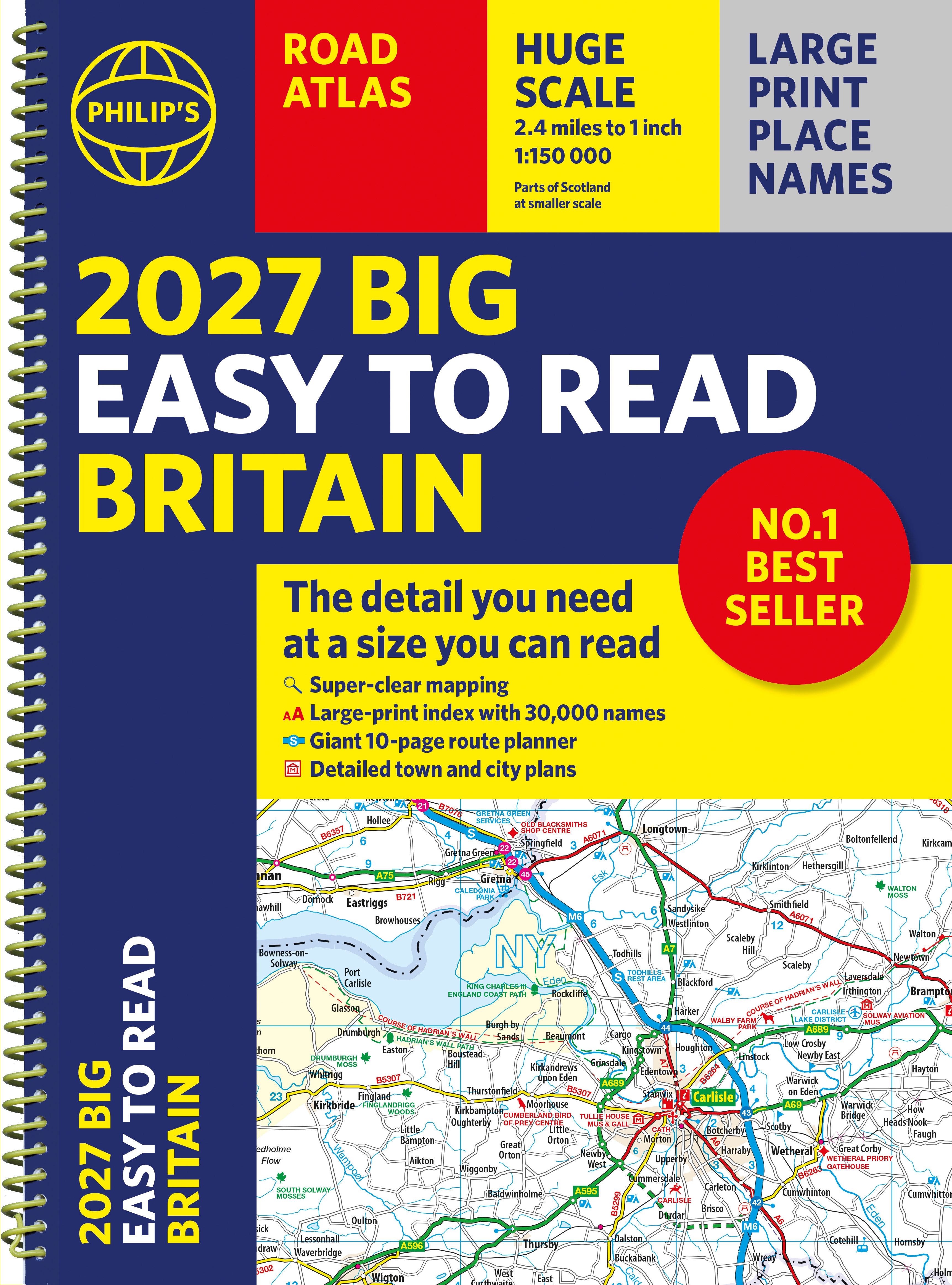
Philip's Big Easy to Read Britain Road Atlas: (Philip's Road Atlases)
Formats & Editions


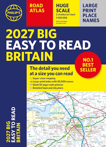
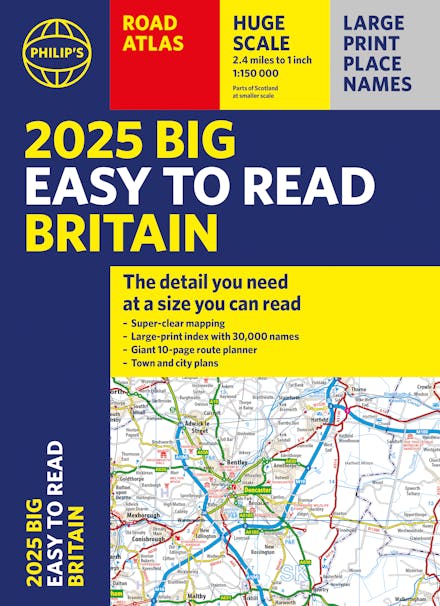
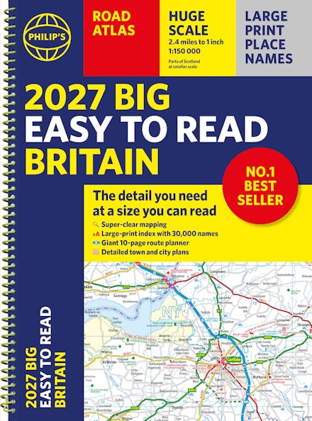
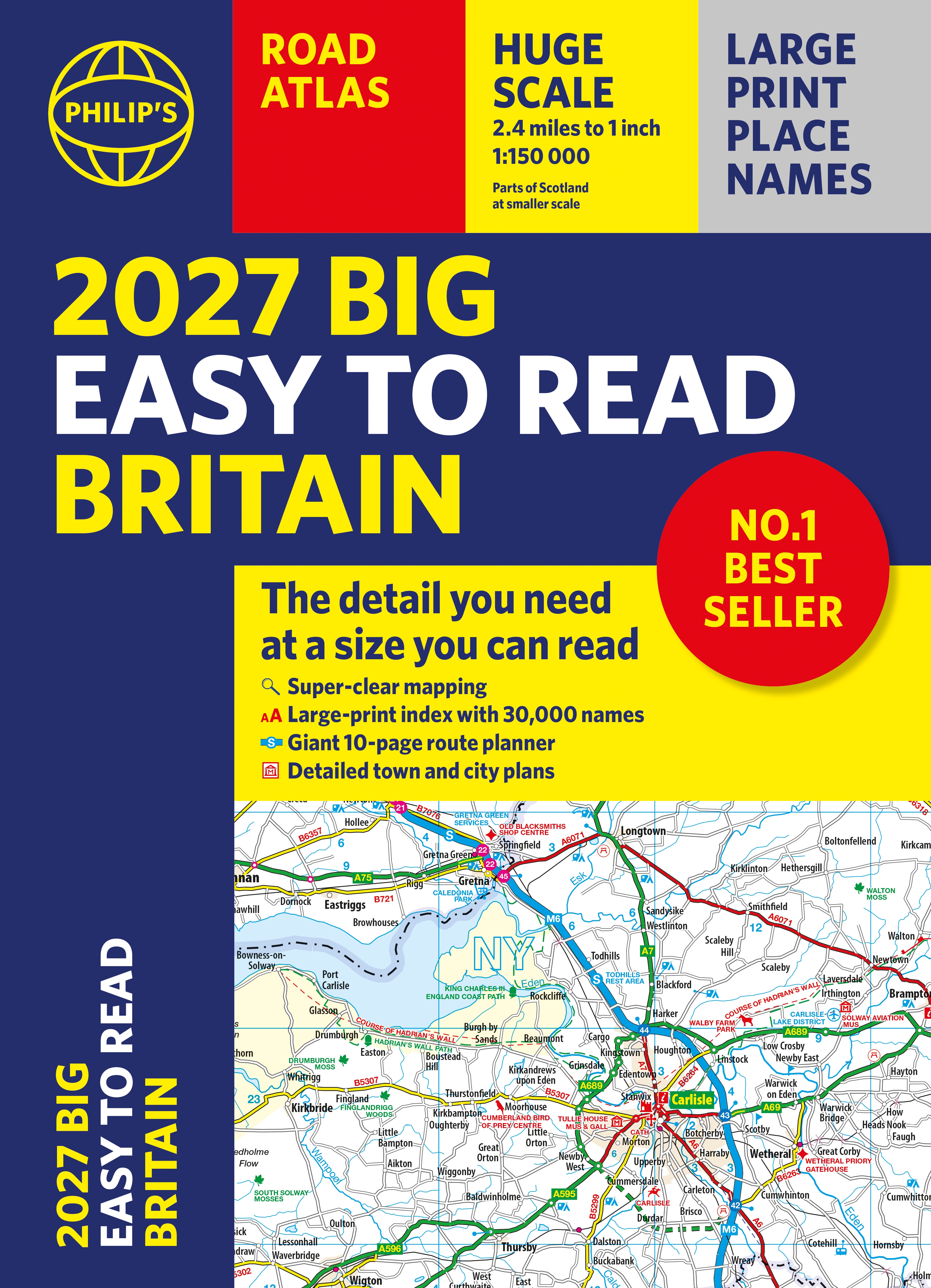
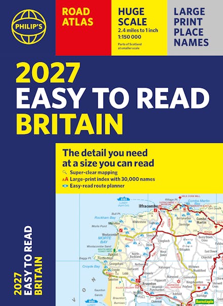
With the detail you need at a size you can read, the latest edition of 2027 Philip's Big Easy to Read Road Atlas of Britain is super-clear, super-sized and bang up-to-date in a large paperback format.
Huge 1:150,000 scale (approx 2.4 miles to 1 inch)
Large super-sized pages (A3)
Large print place names, and large scale maps
88 detailed town plans showing low-emission zones
Clear road colours, which are easier to read in the dark
Thousands of attractions clearly mapped
Special route planner section for arranging the best trips
Large print approach maps for all major cities
Durable paperback format
Over 100,000 copies of the Philip's Easy Read Road Atlases of Britain sold since launch in 2020.
At last, a road atlas that everyone can read easily in or out of the car, no matter what the conditions. Restricted motorway junction information, a distance chart, and clearly labelled places of interest are just some of the features within this bestselling road atlas of Britain. Whether it's getting dark, or you just can't find your glasses, 2027 Philip's Big Easy to Read Road Atlas of Britain is the ultimate road companion.

Praise for Philip's Big Easy to Read Britain Road Atlas
-
Generous-enough scale to enable you to find your way along all the minor roads and lanes. - GrassmarketGreat map - easy to use and read. Happy with purchase. - Design QueenMap detail is very good, perfect size and excellent value.Clear maps, easy to read, large scale
Find a book you'll love, get our newsletter
This site is protected by reCAPTCHA and the Google Privacy Policy and Terms of Service apply.
© Hachette Aotearoa | New Zealand, All Rights Reserved · Site by Chook